Water quality and fishery management
Improving Water Quality and Fishery Management in Lake Victoria
Lake Victoria faces significant environmental challenges, including pollution from unsustainable land management, untreated wastewater, and industrial effluents. Through the KijaniSpace initiative, innovative technologies are being deployed to enhance water quality monitoring and fishery management, supporting both local farmers and regional authorities in sustainable aquaculture practices.
How It Works
Fish Pond Monitoring Technology
The advanced “Fish Pond Monitoring Station” by Waziup measures key parameters like dissolved oxygen, temperature, and pH. Data is sent via the WaziGate IoT gateway and analyzed to offer farmers actionable recommendations, such as activating aerators when oxygen levels are low.
Integration with KijaniBox
The water monitoring platform will be enhanced to incorporate Copernicus satellite imagery, enriching local data with broader insights. The combined satellite and IoT data will:
- Provide farmers with actionable insights into water quality and fish health.
- Generate maps of Lake Victoria’s water quality, showing long-term trends.
- Support local authorities in policy adjustments and intervention planning.

Key Features
Real-time water quality monitoring (oxygen, temperature, pH)
AI-driven predictions for fish health and water conditions.
Consolidated regional water quality maps combining in-situ and satellite data.
Actionable recommendations for farmers and insights for policymakers.

Pilot Validation
Locations
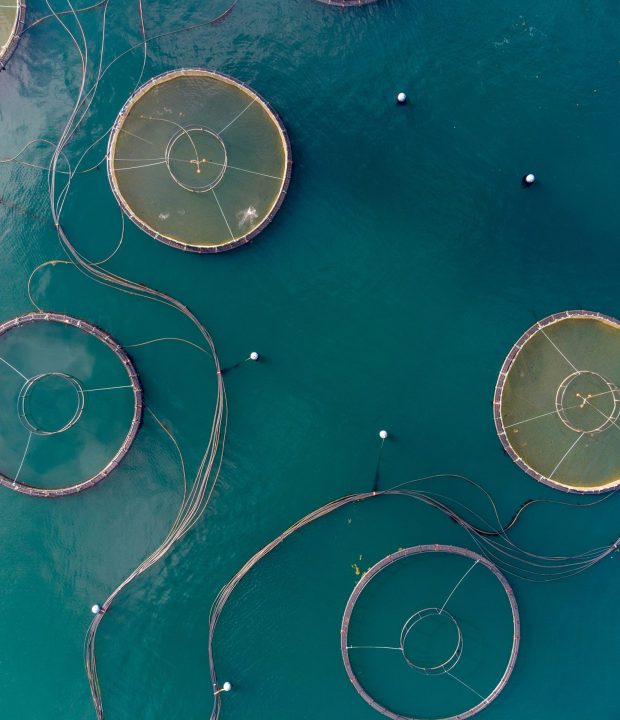
The initiative targets fish farms around Lake Victoria, including three cage farms within the lake and two pond farms on the mainland. Supported by KMFRI, data will be collected to establish a baseline for fishery practices and outputs.
Deployment and testing
Prototypes comprising one WaziGate, a weather station, and a water monitoring station will be installed at pilot sites. Data collection from Copernicus satellites and IoT sensors will begin immediately. AI models will be updated daily with this data, and performance metrics such as R2 scores and Root Mean Squared Error will be used to refine the system.
Farmer Engagement
The final phase includes a demonstration for local farmers, showcasing how predictive insights and actionable recommendations can improve fish health and water management efficiency.